
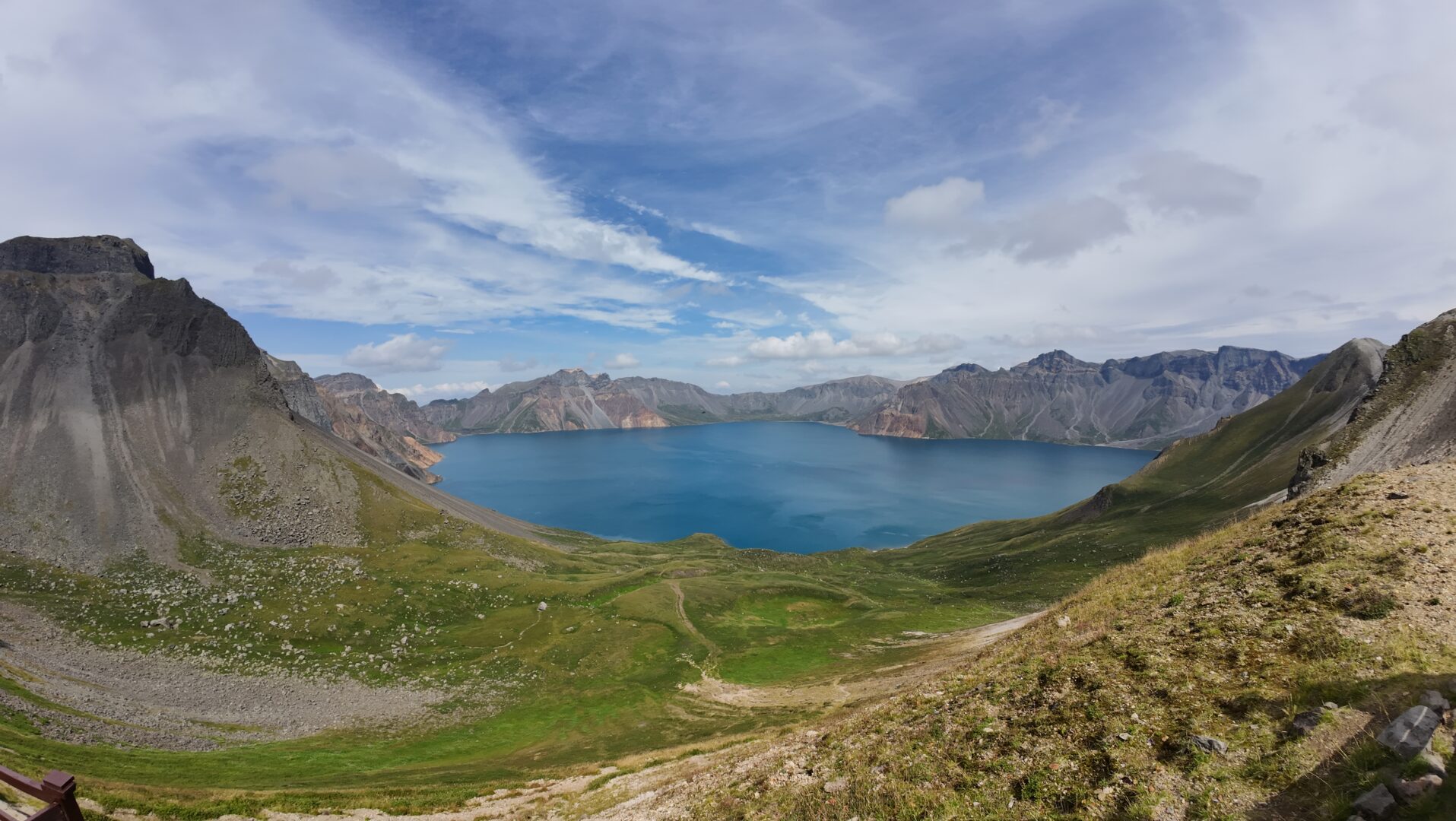
A caldera lake at 2,190 metres, formed by one of the largest eruptions of the last two thousand years, and sacred to Koreans on both sides of the DMZ. The frontier bisects it.
Heaven Lake — Tianchi in Chinese, Chonji in Korean — fills the caldera of a volcano on the China–North Korea border at around 2,190 metres. The border runs directly across the water: roughly the northern half is in Jilin, the southern half in Ryanggang.
The Chinese name for the mountain is Changbaishan; the Korean is Paektu, and to Koreans on both sides of the DMZ it is the most sacred mountain there is — the mythological origin place of the Korean people, and heavily woven into North Korean state narrative.
The volcano produced one of the largest eruptions of the last two thousand years, around 946 AD, with ash recorded as far as Japan. It is not extinct.
Seeing it, or not
Set expectations before you book: the lake is often invisible. It generates its own weather, and cloud sits in the caldera on a large fraction of days — estimates of clear-day frequency in summer run somewhere around a third.
That’s the gamble. It’s also why the people who do see it react the way they do: you climb the last stretch, the cloud tears, and there is a two-hundred-metre drop to an enormous sheet of deep blue water ringed by sixteen peaks.
Give yourself two days. One attempt is a coin flip.
The two routes
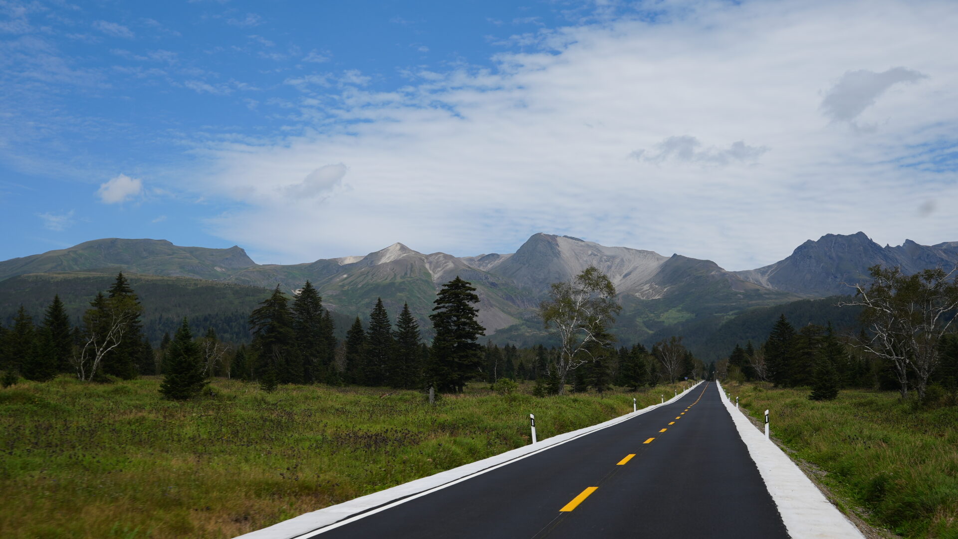
The north slope is the developed one: shuttle buses, a paved road to a viewing area, and the Changbai waterfall — a 68-metre drop that is the lake’s outflow and the source of the Songhua river. Busiest, easiest.
The west slope requires a stair climb of around a thousand steps to the rim and is generally quieter with a broader view. Better if you’re able.
Both are inside the Changbaishan nature reserve, both ticketed, both with shuttle systems. The east slope is on the North Korean side and reached from there.
The rest of the reserve
Don’t treat this as a lake and nothing else.
Hot springs at the foot of the north slope, where eggs are boiled in the pools for sale.
Underground forest — a collapsed volcanic trench filled with old-growth conifer, walkable on a boardwalk.
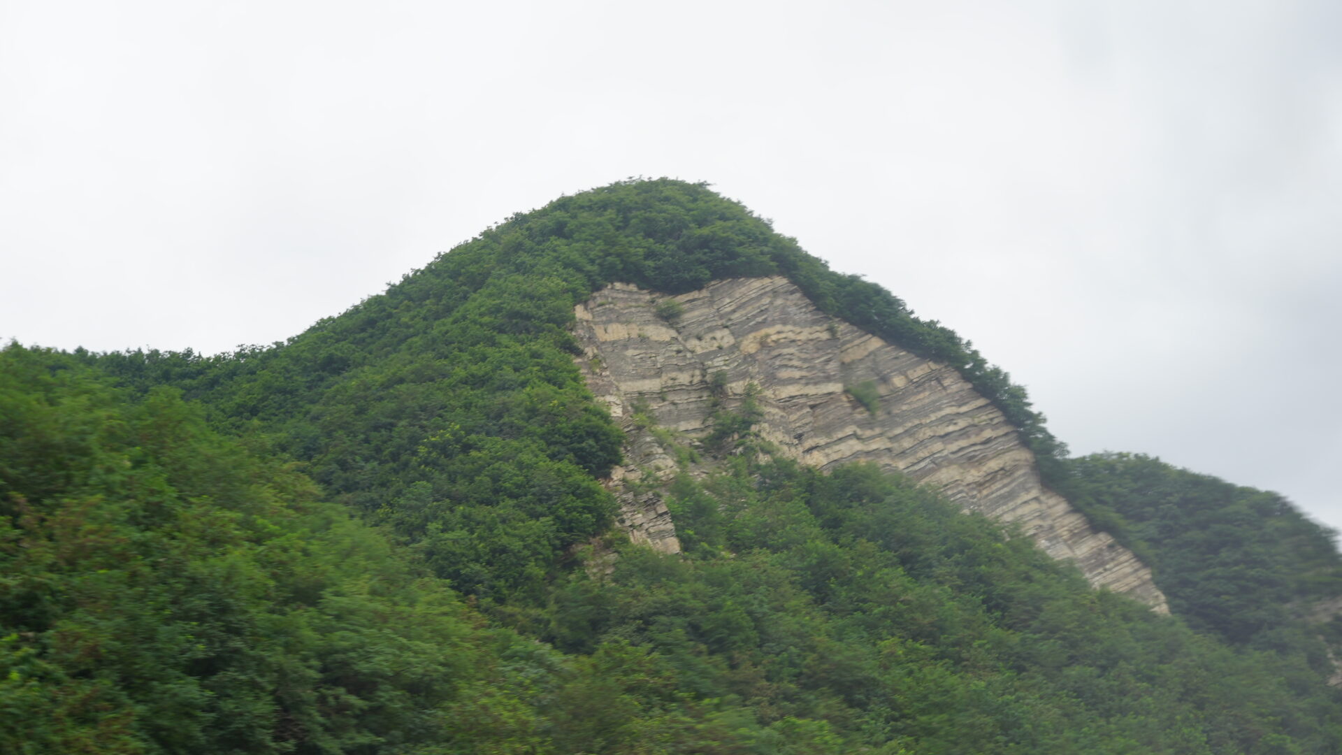
Vegetation zones — the drive up passes through mixed broadleaf, then conifer, then birch, then alpine tundra in about an hour. Textbook altitudinal zonation, and unusually legible.
Wildlife — this is one of the better-preserved temperate forests in East Asia, with sika deer, boar, and a small resident population of Amur leopard and tiger in the wider region. You will not see the cats.
Practical notes
Getting there: Changbaishan has its own airport; rail and bus to Baihe town, which is the base. Erdao Baihe has the accommodation.
When: July to September for the best weather odds and access to both slopes. Winter is a serious ski destination — there are resorts here — with the lake frozen and some routes closed. Spring and autumn are short and unpredictable.
Altitude: 2,190 m at the rim. Mild, but the wind at the top is not.
Bring: far more warm clothing than the base temperature suggests. It can be 25°C at the gate and near freezing with wind at the rim.
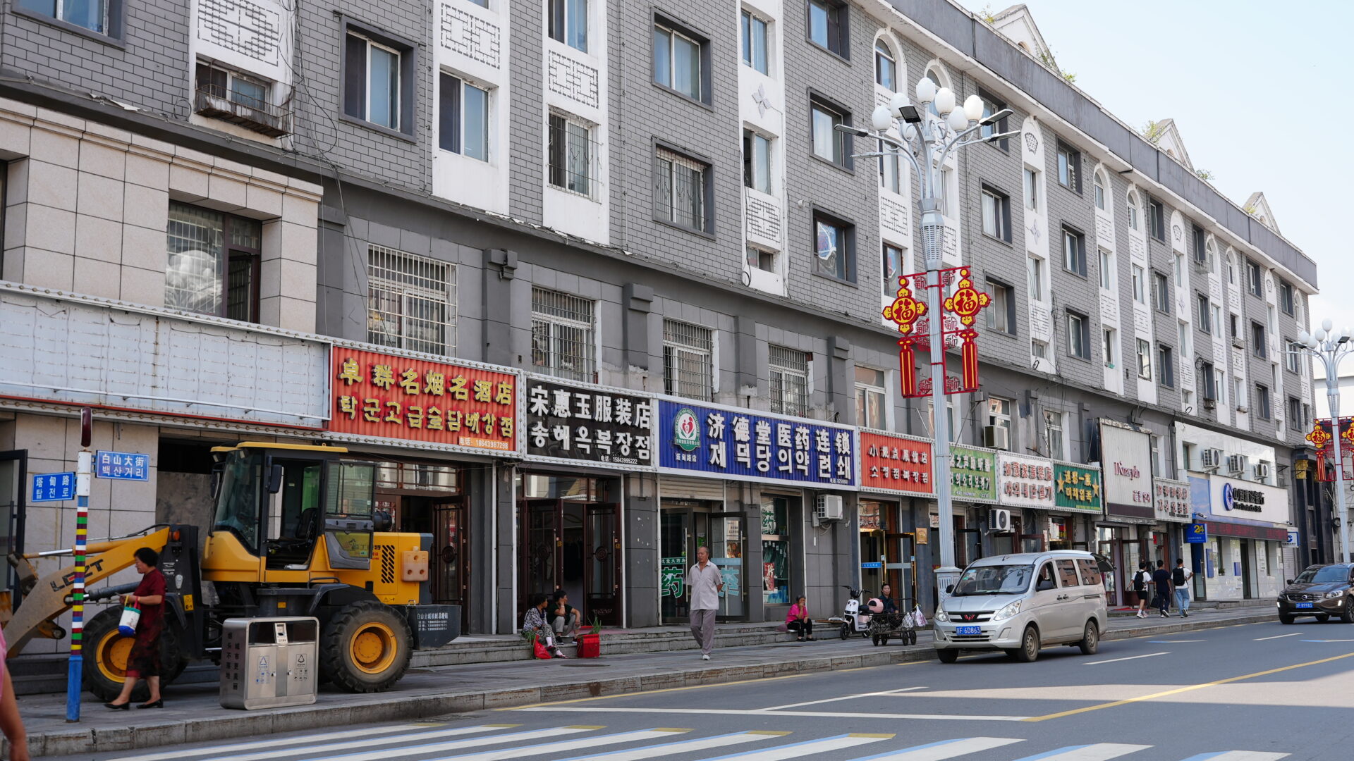
Nearby: the Korean-speaking prefecture of Yanbian to the east — see our ethnic groups guide — and Dandong further down the same border.
- #jilin
- #changbaishan
- #heaven lake
- #volcano
- #north korea