
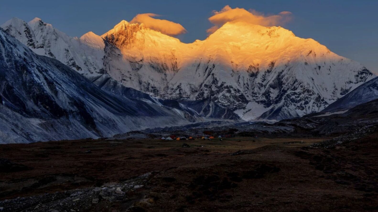
Everyone associates Sherpas with Nepal. A small community lives on the north side of the range too, in valleys so deep and warm that Himalayan Tibet turns into rainforest.
Sherpas are so firmly associated with Nepal that the Chinese side of the range gets overlooked. But Sherpa communities live on the north side of the Himalaya too — a few thousand people, concentrated in the border valleys of Dinggye and Nyalam counties in Shigatse prefecture.
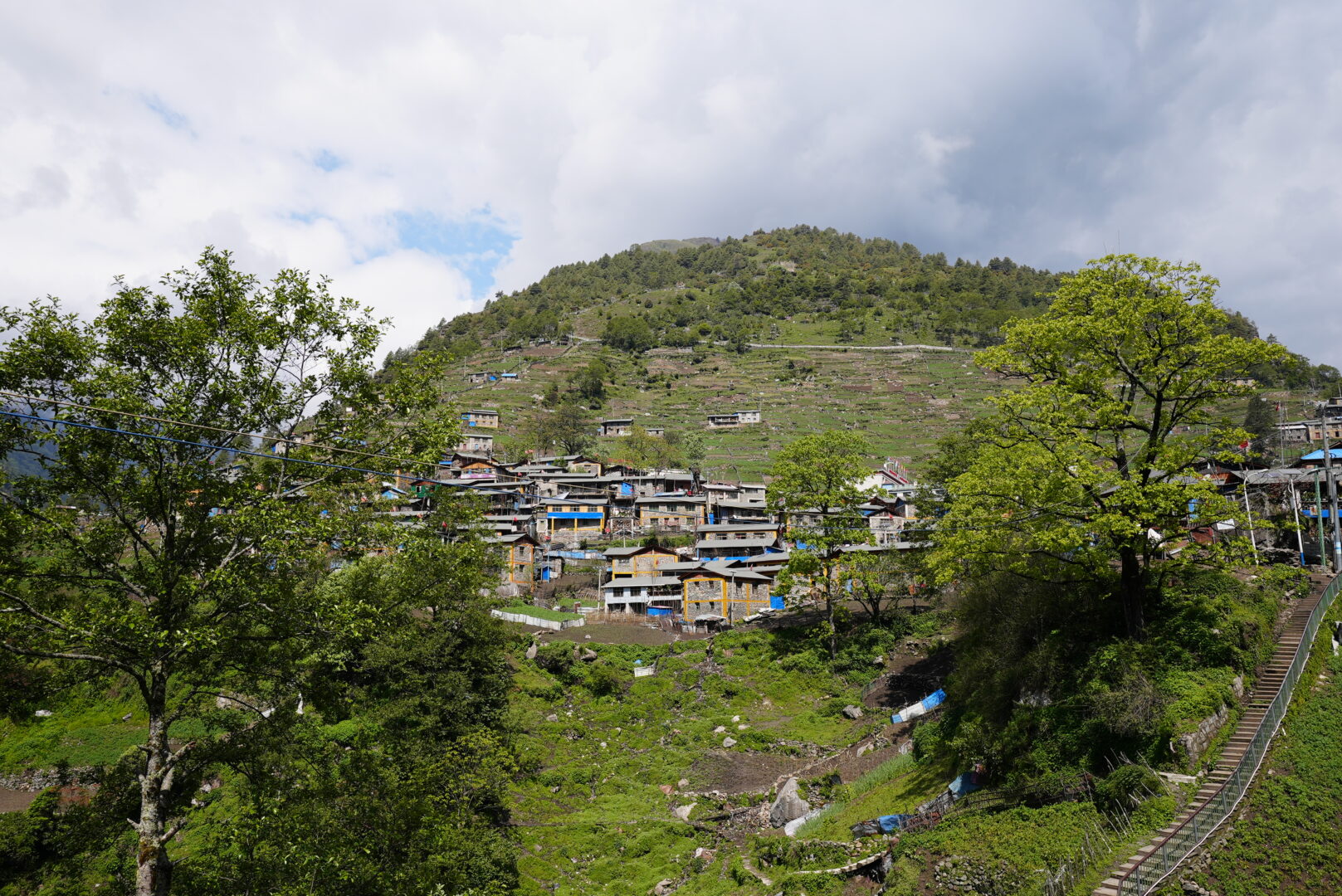
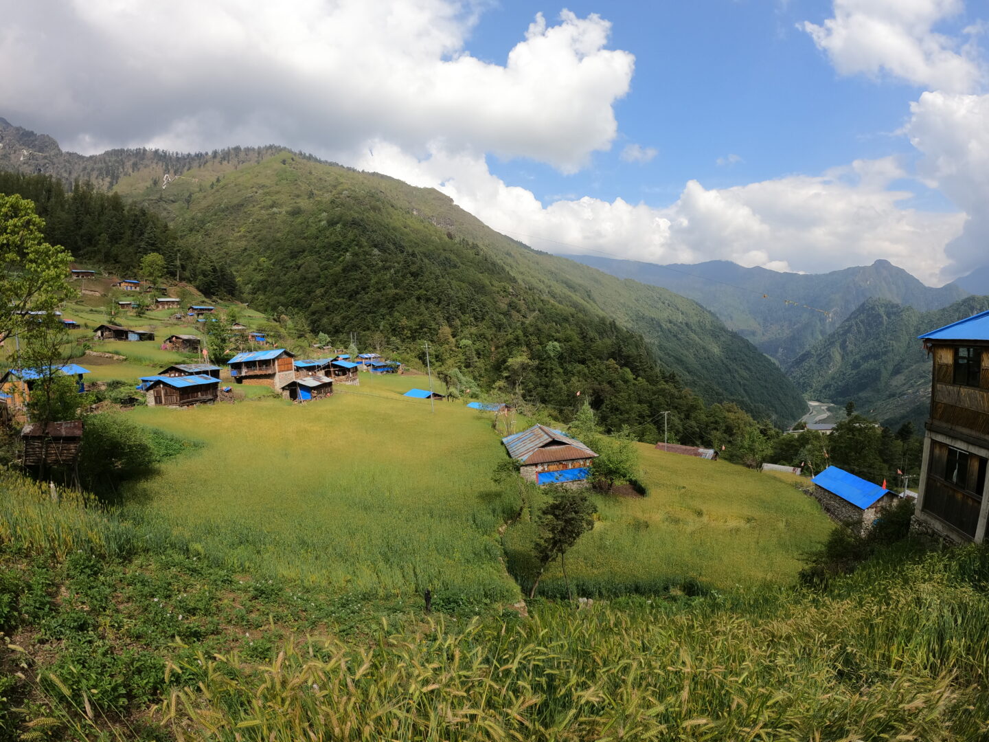
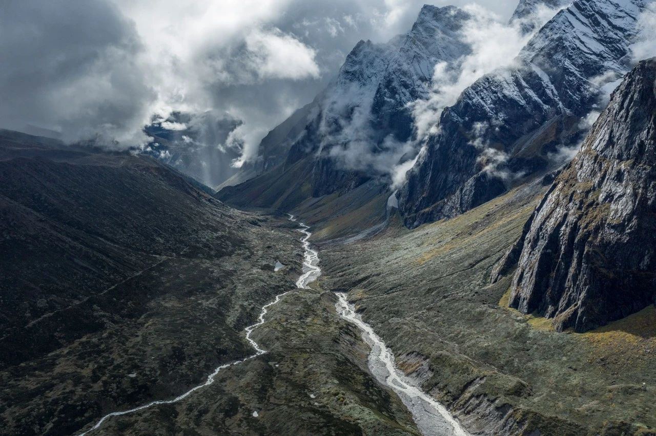
Chentang is the main settlement, in a valley below the main Himalayan crest, close enough to Everest that the same massif fills the northern skyline.
An unusual status
China’s Sherpas occupy a specific administrative position: they are not one of the 56 recognised ethnic groups but are officially classed among the undesignated peoples, their identity acknowledged locally without a separate national category. Culturally and linguistically they are close to the Tibetans around them and distinctly not identical — their own dialect, their own dress details, their own festival particulars.
The mountaineering association that made the name globally famous is a 20th-century Nepali story. What defines this community is subsistence in extraordinarily steep country: terraced farming on slopes that shouldn’t be farmable, forest products, livestock, and generations of moving loads on foot through terrain with no alternative.
The valley
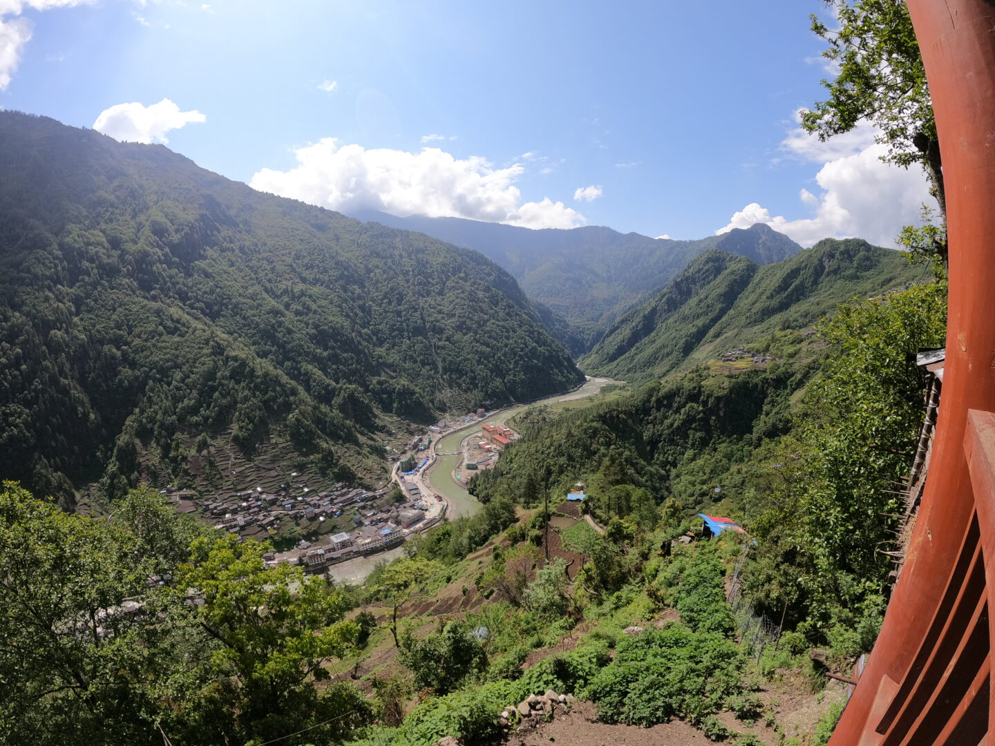
The geography is the surprise. The Himalaya blocks the monsoon, but where rivers cut through it, air gets in. Chentang sits in one of those breaches, at a much lower elevation than you’d expect for Tibet, and the result is subtropical forest — bamboo, tree fern, orchid, banana, and a humidity that has nothing in common with the plateau twenty kilometres north.
The contrast within a day’s travel is hard to overstate: barley and yak at 4,500 m in the morning, and by afternoon a valley where the vegetation looks Burmese.
Getting there
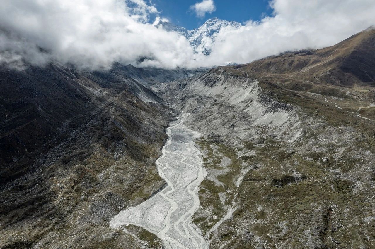
This has changed recently and is still difficult. Chentang was reachable only on foot for most of its history; the road down is new, steep and vulnerable to landslides during the rains.
Access is also restricted. This is a frontier zone in a sensitive area of the Himalaya, and beyond the standard Tibet permit you’ll need additional border permits arranged well in advance through a licensed agency. Some of it may be closed outright depending on the moment — see restricted areas, and confirm with your agency before building an itinerary around it.
Practical notes
When: October and November. The monsoon has finished, the road is at its best, and the mountain views to the north are clear. Summer means rain, leeches and landslides.
Base: Dinggye or Shigatse, with Chentang as the destination at the end of a long descent.
Altitude, in reverse: the unusual challenge here is that you’ll be arriving from high ground and descending several thousand metres. That’s the easy direction physiologically — the return climb is the one to pace.
Combine with: the Everest north side, which is on the same permit circuit, and Yadong further east along the frontier.
- #tibet
- #chentang
- #sherpa
- #himalaya
- #dinggye