
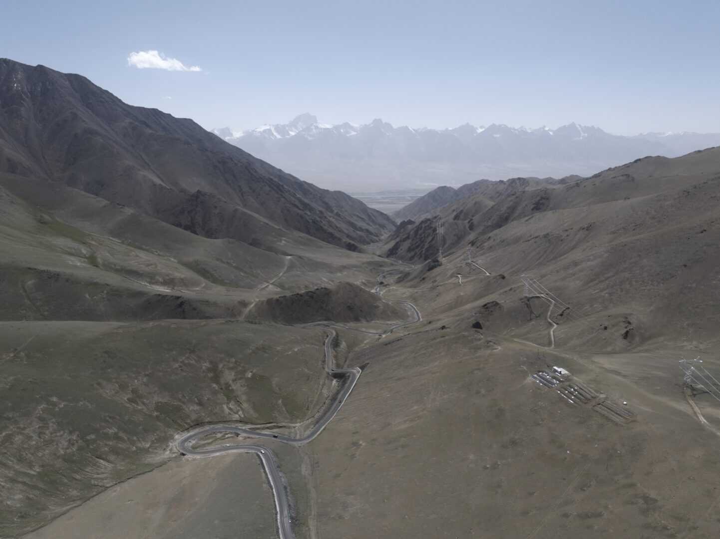
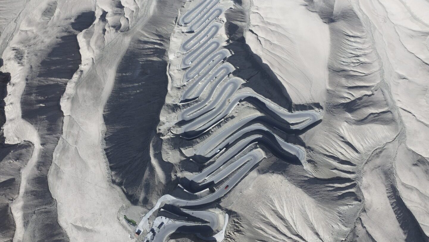
The Panlong sky road climbs out of the Tashkurgan valley in a stack of switchbacks so dense they look drawn rather than built. It is the most spectacular short drive in China.
Some roads have a viewpoint. This one is the viewpoint.
The Panlong sky road — 盘龙古道, “coiling dragon” — climbs out of the Tashkurgan valley in a stack of switchbacks packed so tightly into 36 kilometres of mountainside that from above the whole thing looks like a drawing rather than a piece of infrastructure. Several hundred bends, one after another, on a surface that was a stock track within living memory.
Over 300 hairpin turns in 36 kilometres
What the drive is like
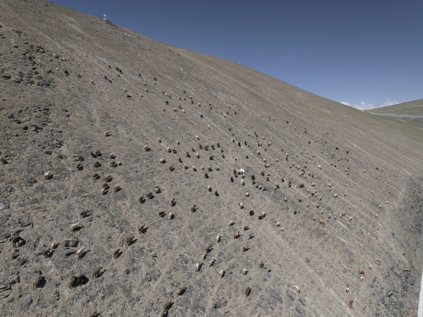
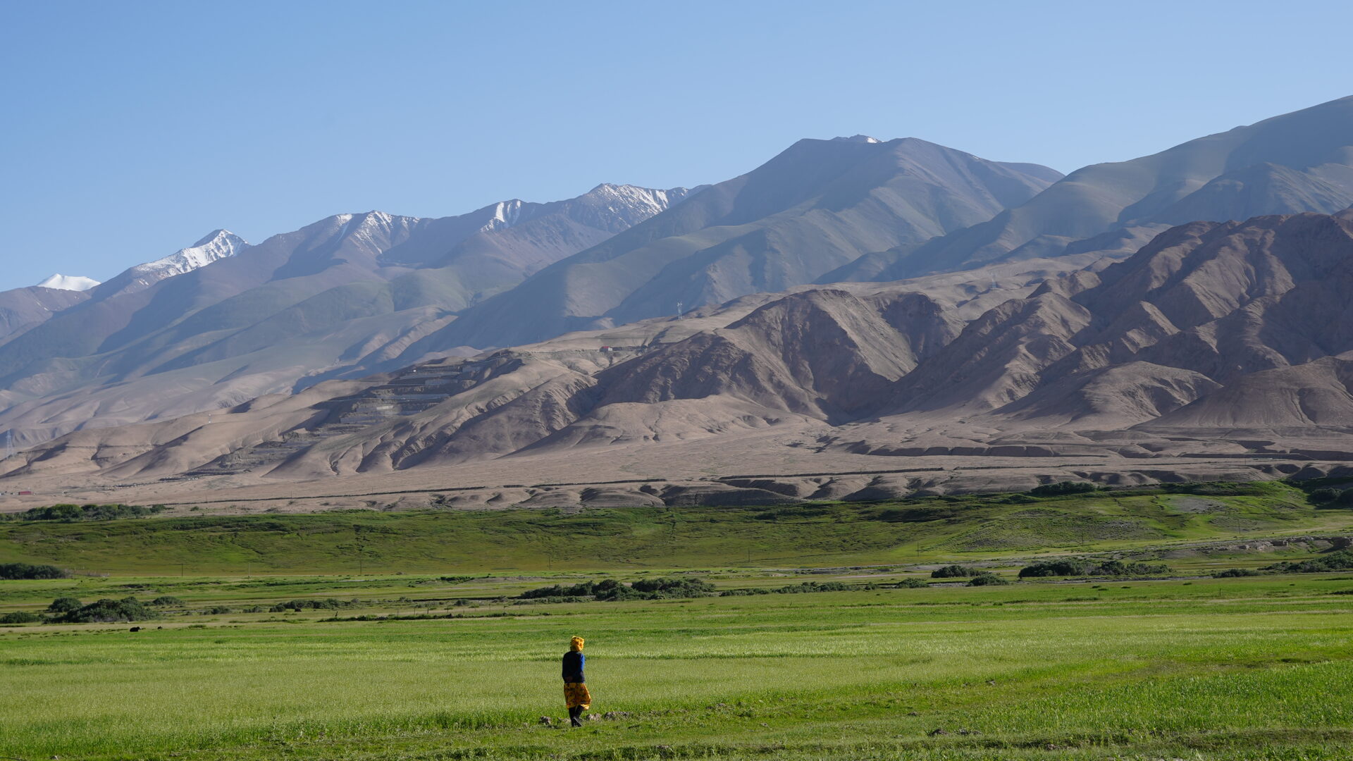
You start on the plateau floor at around 3,000 metres, which already feels high, and climb into terrain with no soil, no trees and no shelter. Above the switchbacks the road runs across open plateau — gravel, thin grass, the occasional herd of yak, and the enormous white bulk of the Pamir range on every side.
The scale defeats normal judgement. A peak that looks an hour’s walk away is a day’s, and a valley that looks small holds a village you can’t see until you’re in it. Weather changes fast enough to be a factor: snow is possible in any month up here, and a clear morning routinely becomes a graupel shower by afternoon.
Who lives up here
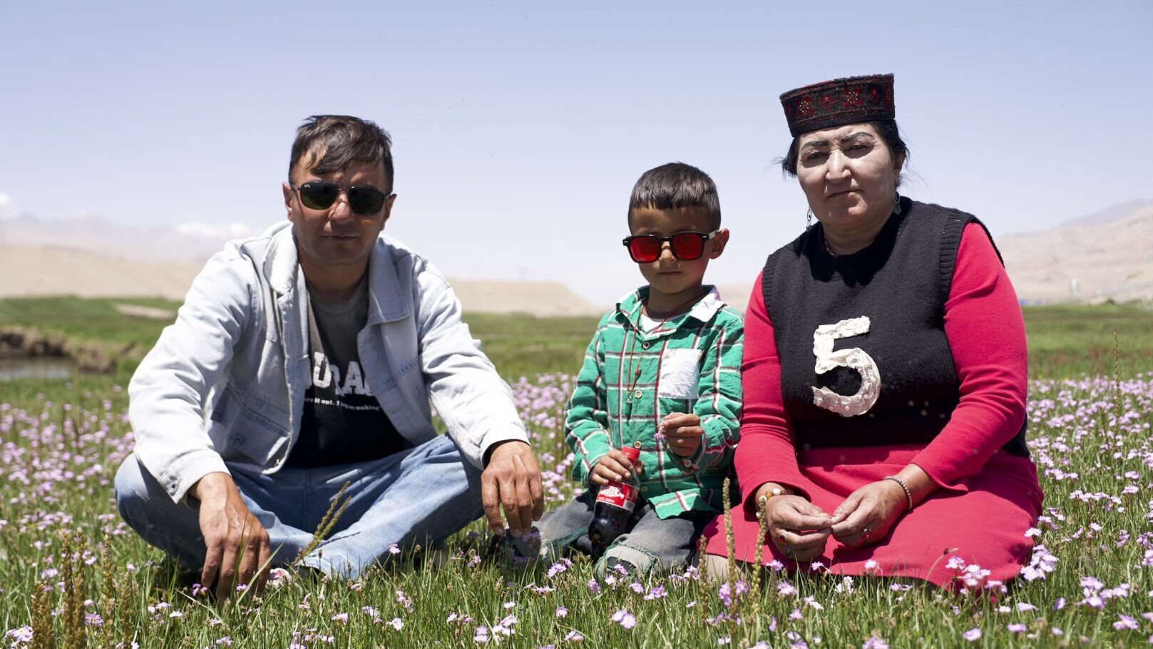
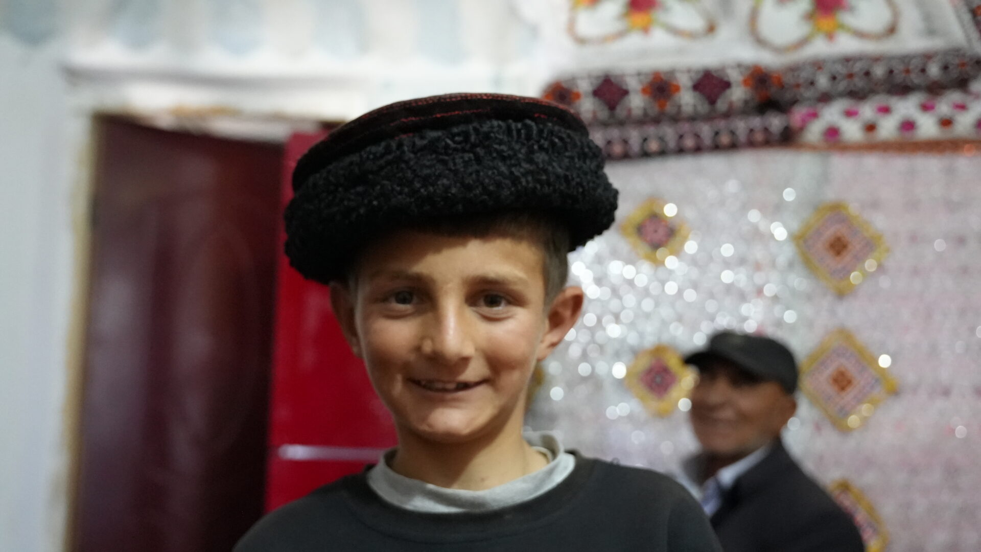
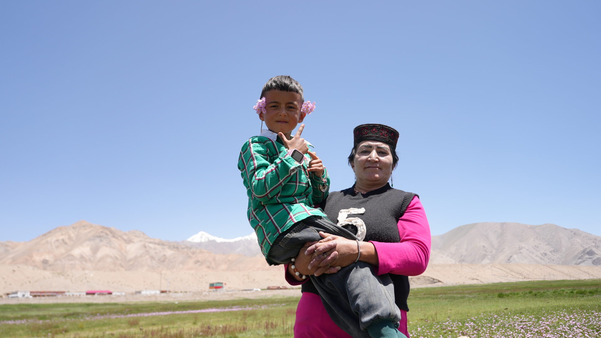
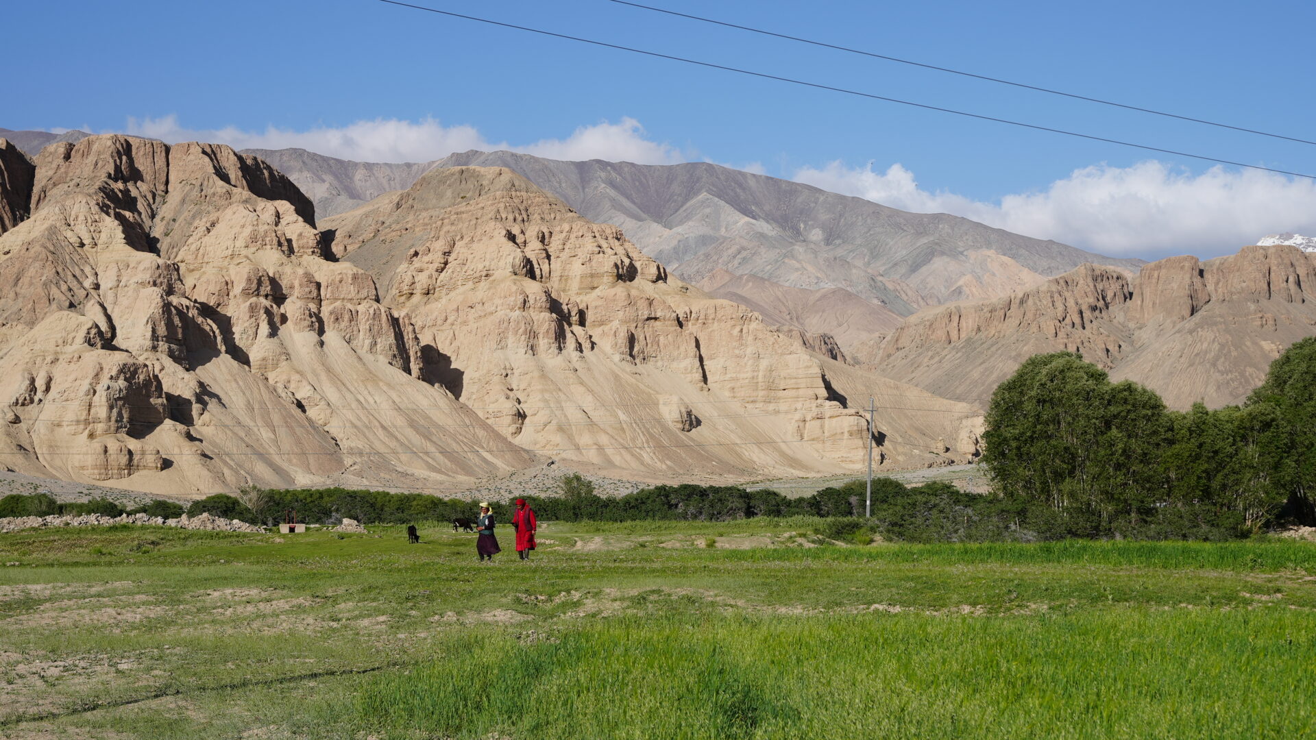
The plateau isn’t empty. Tajik herders and farmers hold most of it, with Kyrgyz communities in some valleys and Uyghur families in the lower settlements — three languages and three ways of using the same ground.
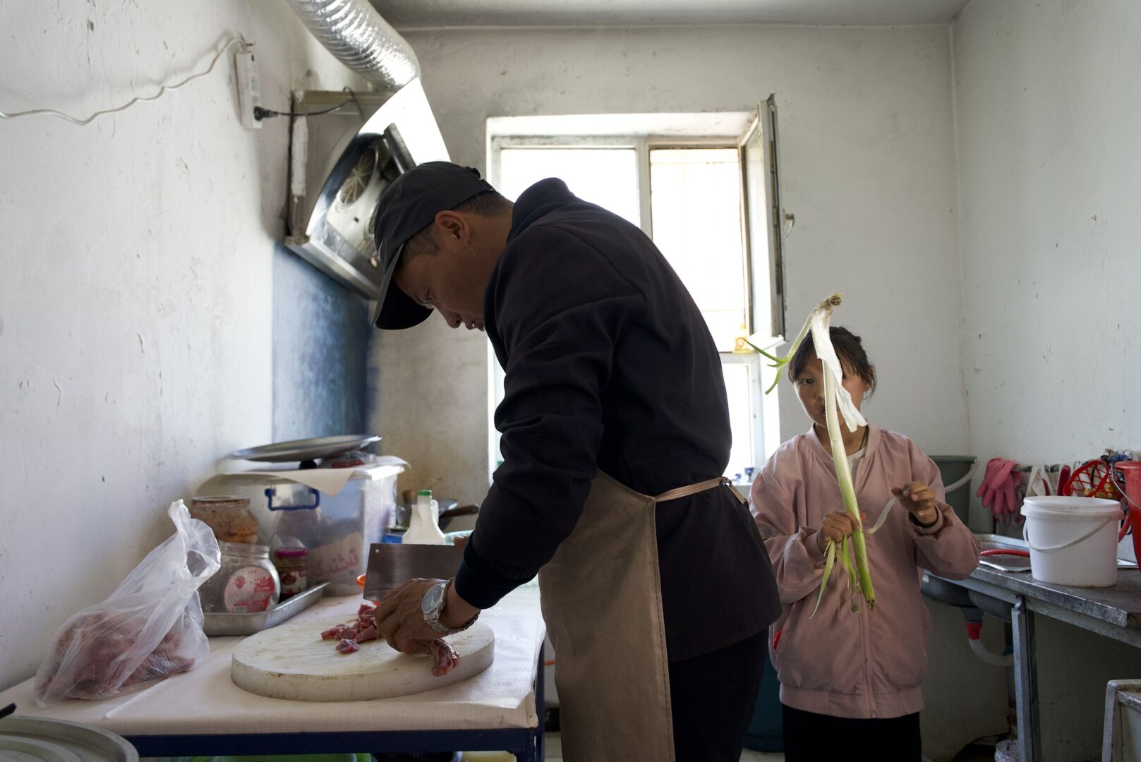
The houses are built for the conditions and nothing else: thick stone or mud-brick walls, small windows, flat roofs, courtyards laid out around the wind. Livestock is the economy — sheep, goat, yak, some camel — and the year is organised around moving animals between altitudes.
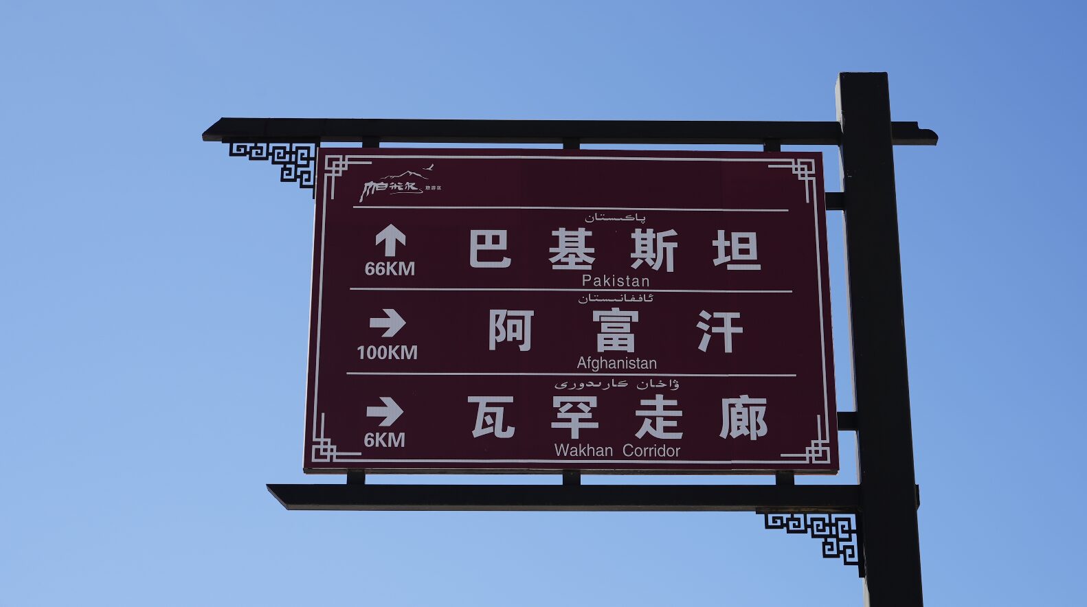
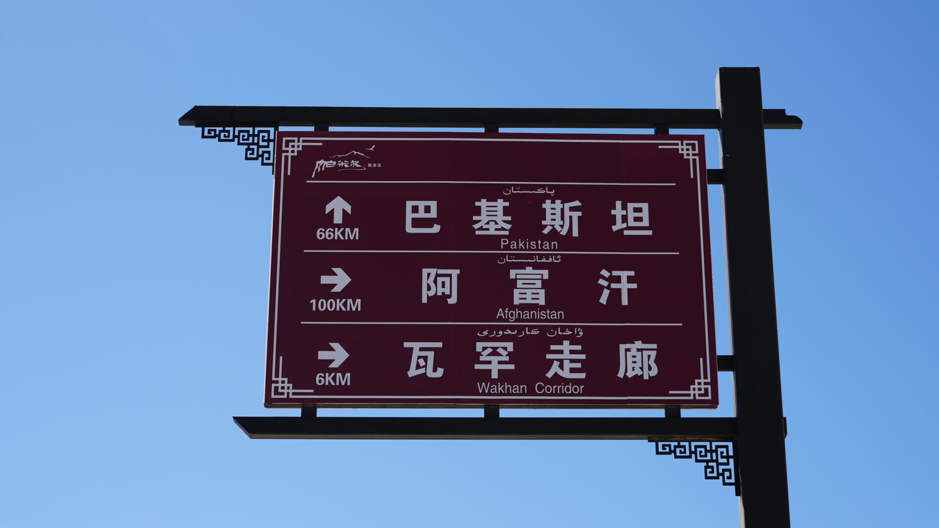
This is old country in a specific sense. The Silk Road’s westernmost Chinese branches came through these passes, and the fort at Tashkurgan guarded them. Ptolemy’s geography probably refers to a trading post somewhere near here. The road is new; the route is not.
Practical notes
Permits. Border-zone permits are needed for much of Tashkurgan county — arrange them through an agency in Kashgar before you set out. See restricted areas.
Altitude is the real constraint. The top of the sky road is around 4,000 m, and you’ll have come up from Kashgar’s 1,300 m in a day or two. Sleep in Tashkurgan first. Don’t sprint uphill for a photograph — a headache and nausea at that height should end your day, not be pushed through.
Vehicle. A hired car with a local driver is the sensible arrangement: the switchbacks are narrow, the drops are unfenced in places, and the drivers know which corners the trucks cut. Self-drive is possible with a Chinese licence.
When. June to September. Snow closes sections outside that window, sometimes at short notice.
Fuel and food. Fill up in Tashkurgan. There is nothing on the road, and the plateau is not the place to test your range.
Combine it with the Karakoram Highway south to the Khunjerab Pass, and if the timing is lucky, a Tajik wedding in the valley below.

- #xinjiang
- #tashkurgan
- #pamir
- #road trip
- #mountain pass