
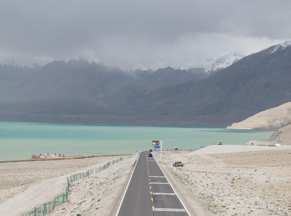
The highest paved border crossing in the world, built over two decades at the cost of hundreds of lives. The Chinese side runs from Kashgar past a 7,500-metre peak to the Khunjerab Pass — and it is the best road in China.
The Karakoram Highway runs about 1,300 kilometres from Kashgar to Islamabad, crossing the Khunjerab Pass at roughly 4,700 metres — the highest paved border crossing on earth. It took around twenty years to build, and several hundred workers died doing it. There are memorials on both sides.
The Chinese section, Kashgar to the pass, is around 400 kilometres, and it is the single best drive in the country.
The road south
You leave Kashgar at 1,300 metres, on flat irrigated farmland, and the mountains simply arrive. Within two hours the road is in the Ghez gorge, following a river the colour of wet cement between walls that close overhead, climbing continuously.
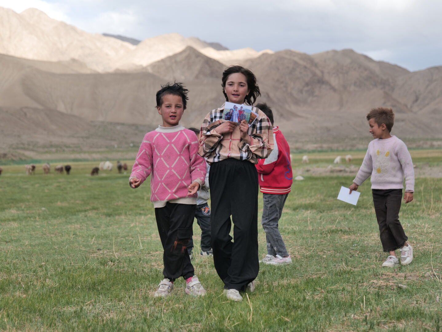
Then it opens. The Pamir plateau begins around 3,000 metres — wide gravel valleys, thin grass, Kyrgyz yurts and herds of yak and camel, and the first of the giant peaks.
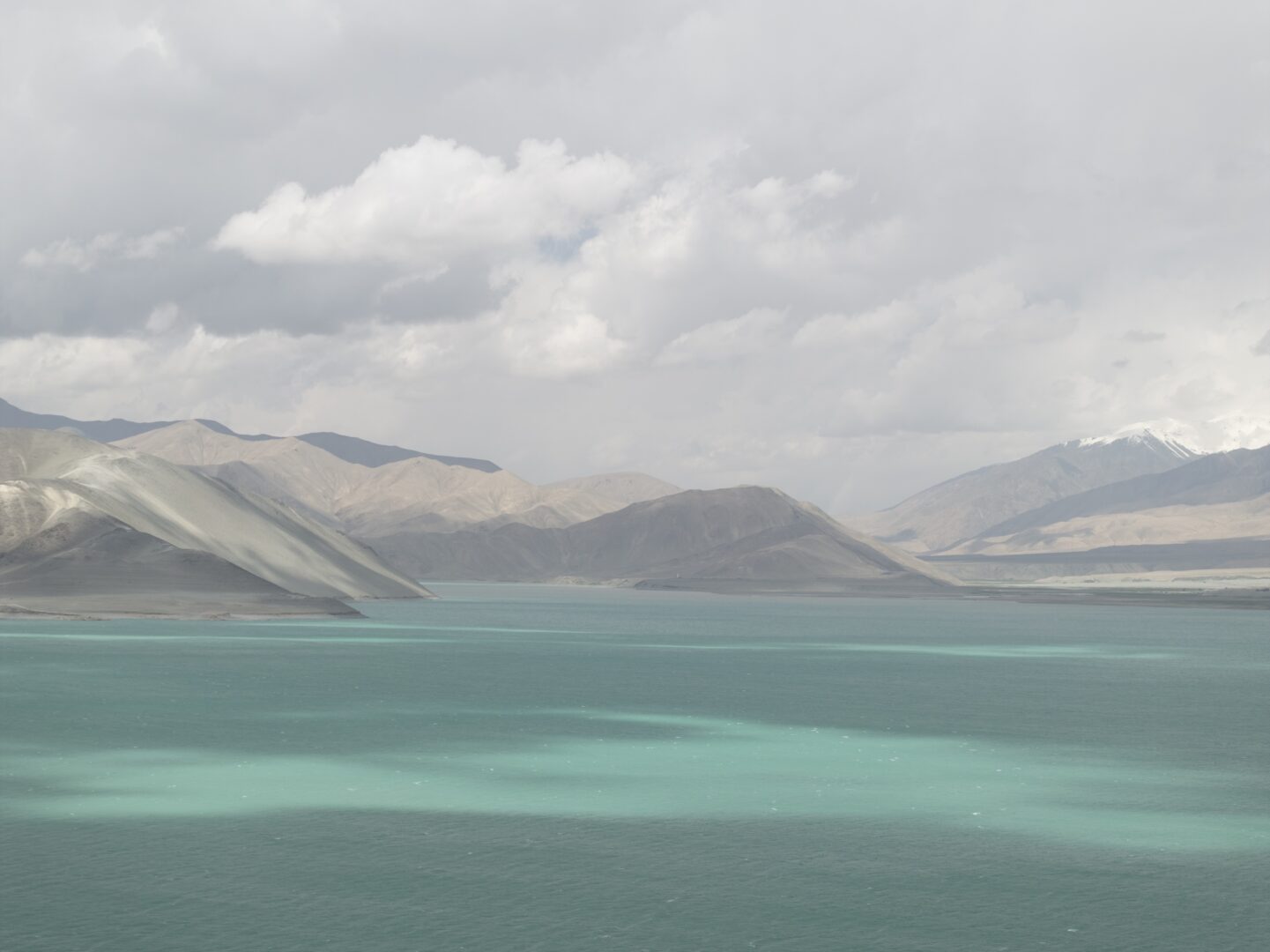
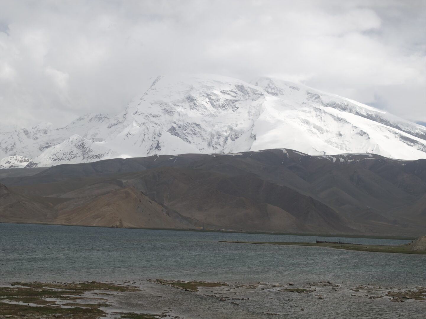
Karakul Lake at 3,600 m is the obvious stop: dark water, a rim of sand and grass, and two enormous mountains behind it. Muztagh Ata at 7,509 m — “the father of ice mountains” — is the one that dominates, a broad white dome that looks close enough to walk to and is not. Kongur Tagh at 7,649 m stands to the north of it.
For the record: you cannot see K2 from this road. It’s 200 kilometres east, behind several ranges, and reachable only from the Pakistani side or via a serious expedition. What you can see is enough.
Tashkurgan and the pass
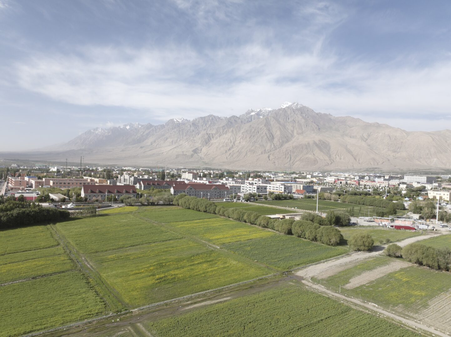
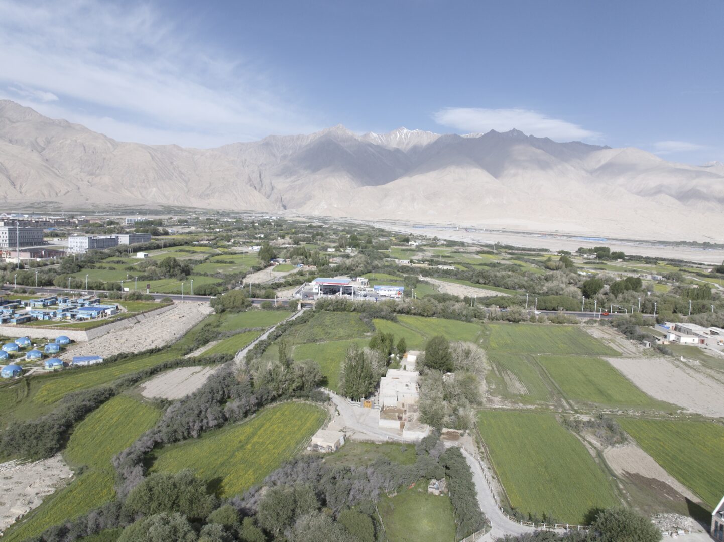
The last town before the border is Tashkurgan at 3,100 m, the only Tajik autonomous county in China — Indo-European language, Ismaili Islam, and a culture visibly distinct from the Uyghur towns below. The stone fort the town is named for sits above it, and the wetland beyond has a boardwalk that’s the best easy walk on the whole route.
From there it’s another two hours up to Khunjerab. The pass is a broad saddle with a gate, a wide grassy bowl and, usually, marmots. Ibex and blue sheep live up here; snow leopards do too, invisibly. Even in summer, wind at 4,700 m is a serious proposition — bring more clothing than the valley temperature suggests.
Practical notes
Permits. Border-zone permits are required for the upper sections, and the rules change. Arrange them through an agency in Kashgar before setting out; see restricted areas. Multiple checkpoints will look at your passport and your permit.
Altitude. Kashgar to Karakul is 2,300 metres of gain in about five hours. That’s fast. Sleep at Tashkurgan rather than pushing to the pass and back in a day, drink far more water than feels necessary, and don’t treat a headache as nothing.
When to go. June to October. The pass closes in winter, and shoulder-season snow can shut it at short notice.
How. Hired car with a driver is the standard arrangement and the sensible one — the driver knows the checkpoints. Self-driving is possible with a Chinese licence.
The border itself. The crossing to Pakistan operates seasonally, roughly April to November, for those with the right visas. Most travellers turn around at the pass, which is not an anticlimax.
Continue on the Pamir sky road, or head back down to Kashgar.
- #xinjiang
- #karakoram highway
- #road trip
- #pamir
- #tashkurgan