
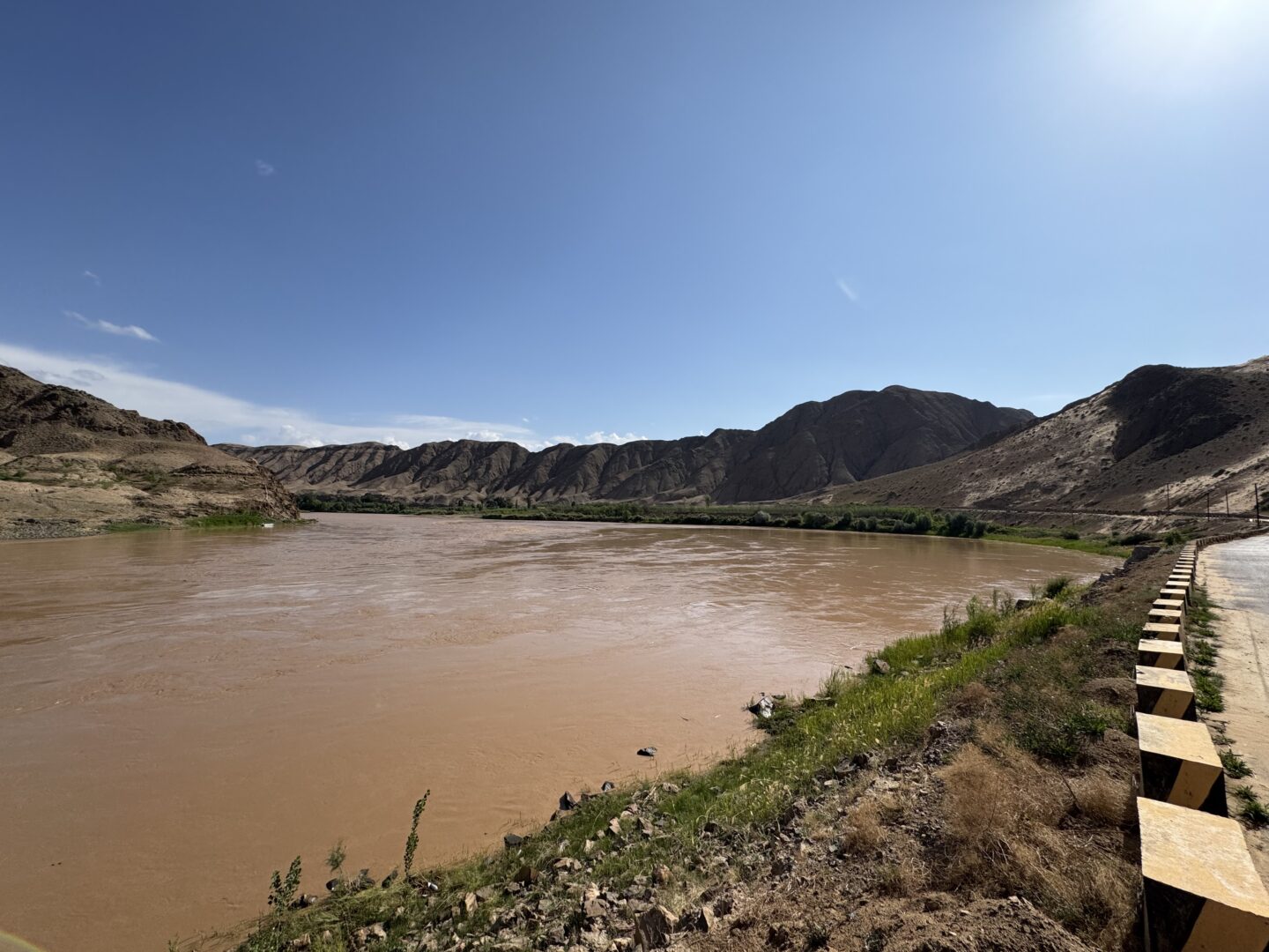
At Shapotou, the Tengger desert's dunes come down to the Yellow River's bank. Zhongwei sits between them, at the end of a marketed desert highway that's genuinely worth driving.
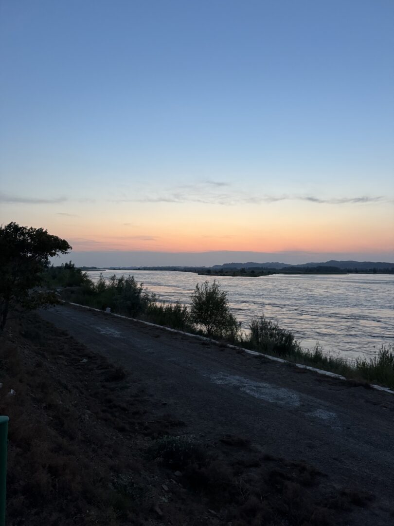
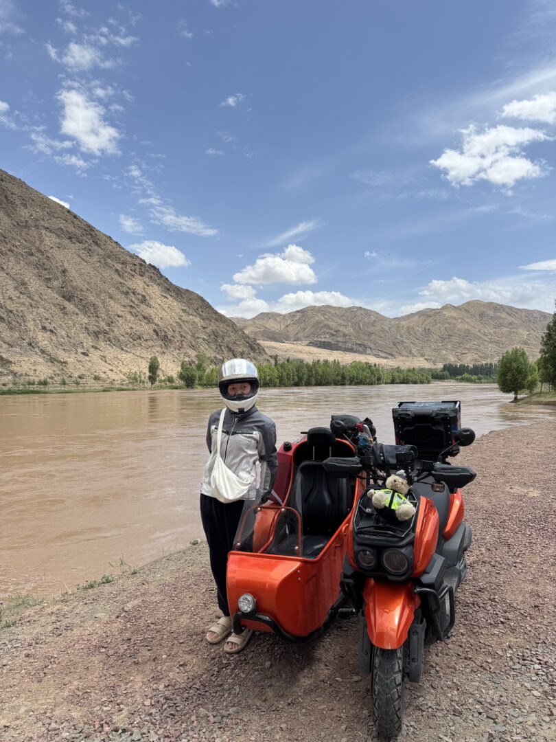
Zhongwei sits at a genuinely unusual meeting point: the southeastern edge of the Tengger desert on one side, the Yellow River on the other, and irrigated farmland in between.
At Shapotou, a few kilometres west of town, that boundary is dramatic — a wall of dunes running straight down to the river’s edge, with green water at the bottom and sand at the top.
The road
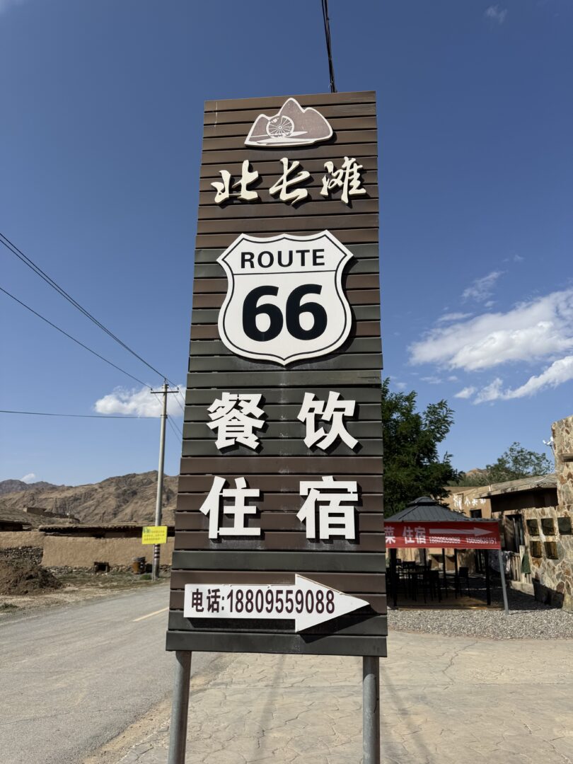
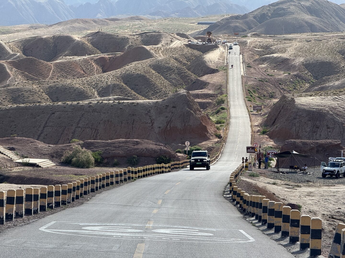
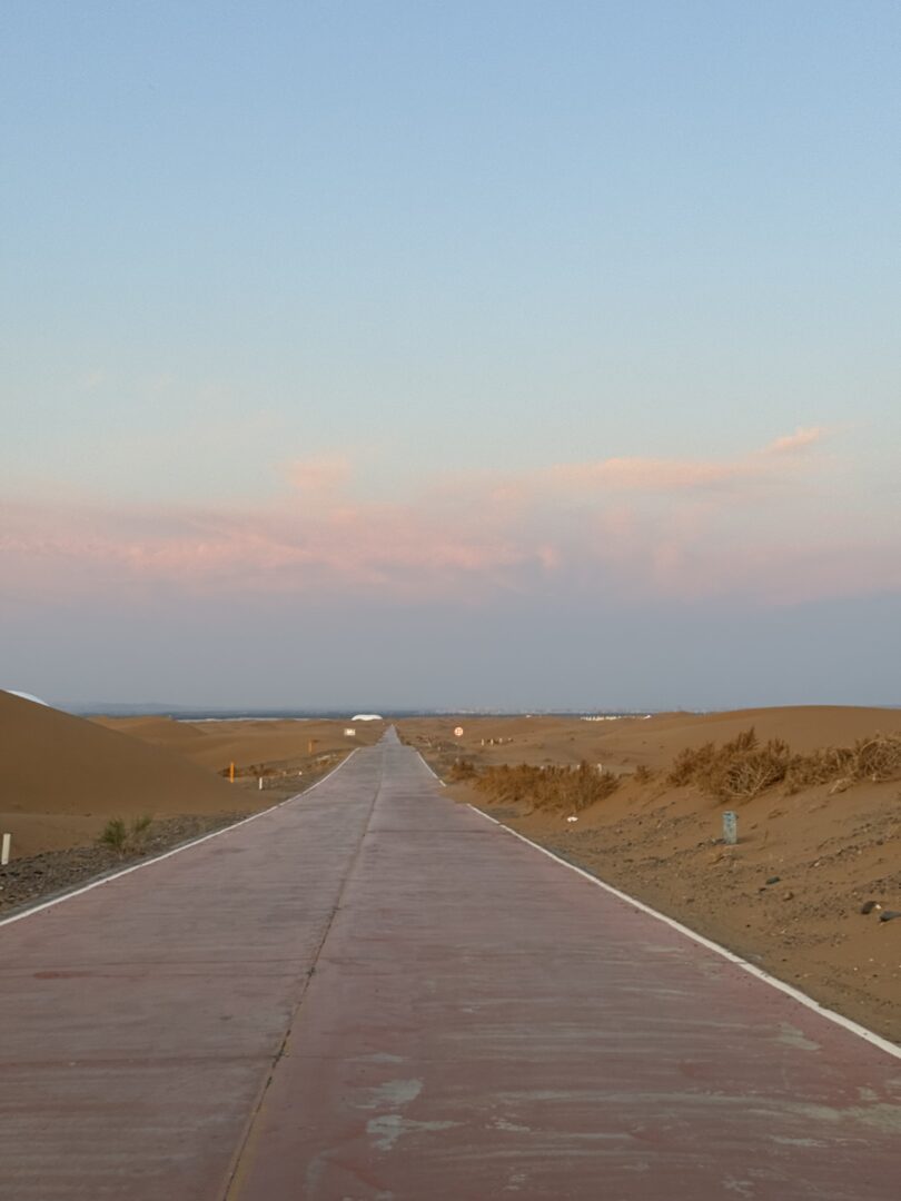
The stretch marketed as China’s Route 66 runs across the desert country outside Zhongwei — a two-lane road with dunes on both sides, dressed up with American-style signage and a few photo stops.
The branding is unashamed and the driving genuinely delivers: long straights, no traffic, and sand to the horizon on both sides. Unlike the expressways that now cross this region, it goes slowly enough that you see where you are.
The wider point is that this is a historic corridor. The Silk Road ran through here, using the river as the water source and the pass as the route, and the modern road follows the same logic for the same reasons.
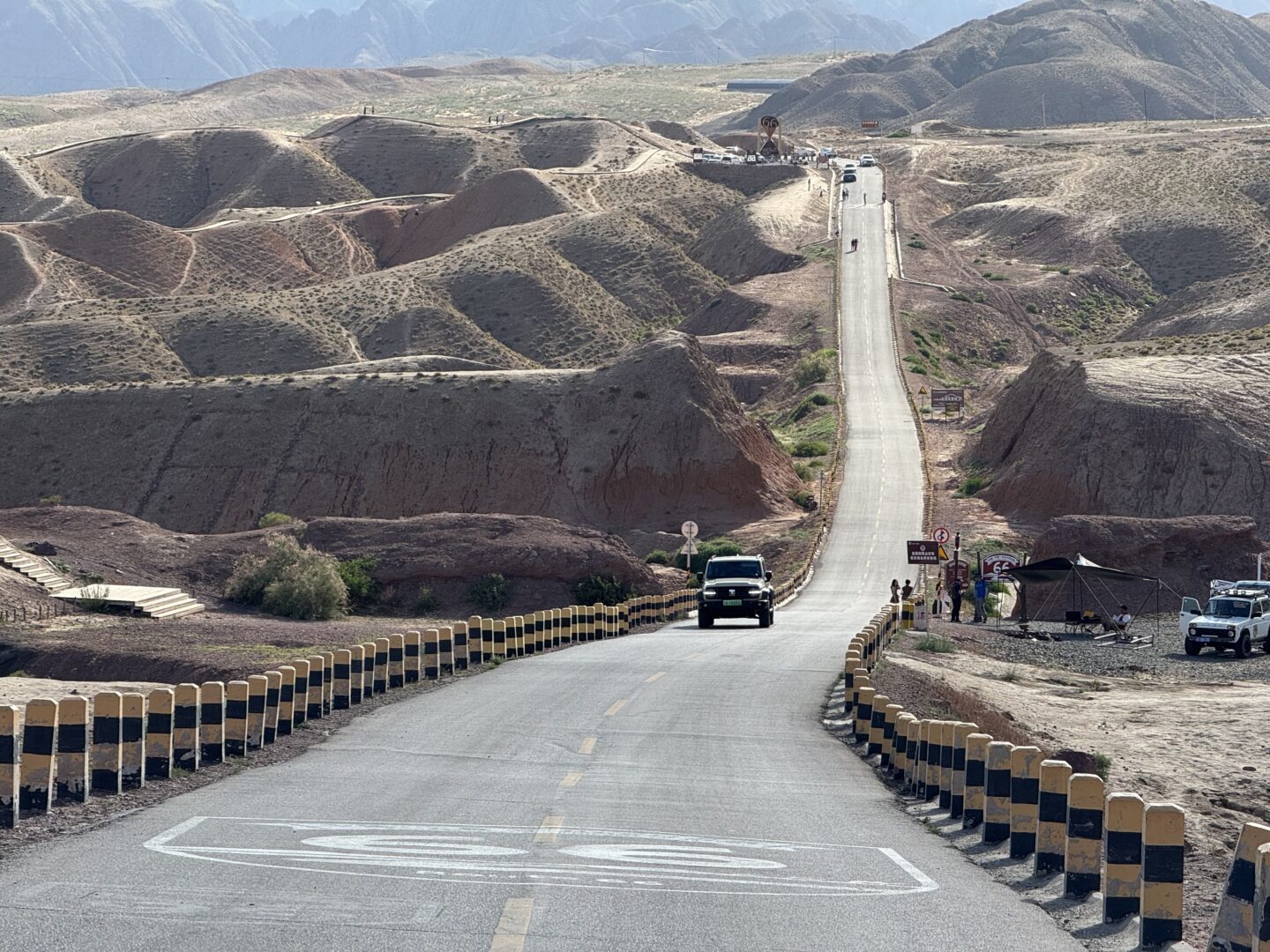
China’s Route 66, in Ningxia
Shapotou
The main attraction, and more interesting than a dune park.
The desert–river meeting is the view. There’s a sand-slide down the dune face to the river bank, camel rides, dune buggies and a zip line across the water — a full activity park, busy in summer, and reasonably good fun.
The shelterbelt is the real story. The Baotou–Lanzhou railway was built along this margin in the 1950s and immediately faced a problem: moving dunes buried the track. What followed was decades of work planting straw checkerboards and drought-tolerant shrubs to fix the sand — a technique developed here that is now used across northern China and exported internationally.
You can see it from the road: grids of straw and low scrub holding a dune face in place, kilometre after kilometre. It’s one of the more consequential pieces of environmental engineering anywhere, and it has a small museum.
In town
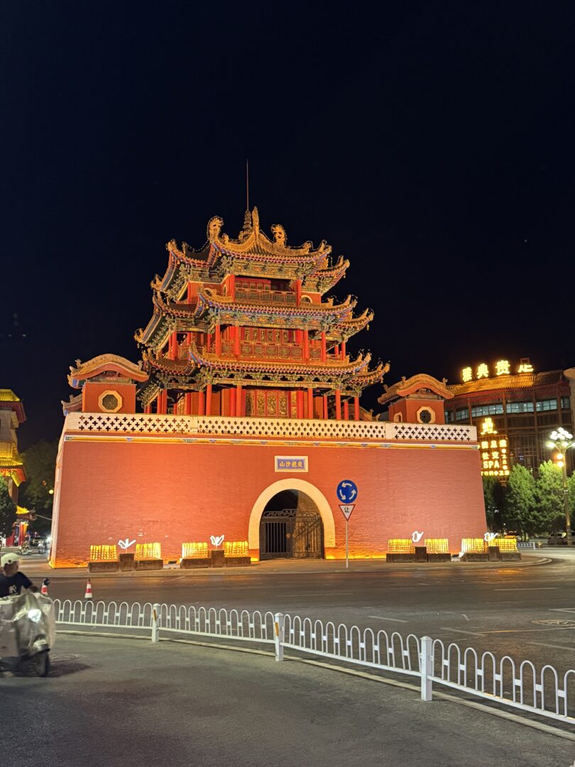
Gao Temple (高庙) is worth an hour — an unusual multi-storey complex housing Buddhist, Daoist and Confucian halls in a single stacked structure, with a warren of tunnels underneath.
Otherwise Zhongwei is a functional regional city and a good base: hotels, food, and access to both desert and river.
Eat: Ningxia is Hui Muslim country, and the lamb is exceptional — see Wuzhong’s morning tea for the region’s best meal. Also hand-grabbed lamb, hand-pulled noodles and eight-treasure tea. Our food guide has the context.
The honest note
Ningxia remains one of China’s smaller and less wealthy regions, and the tension between developing tourism and not wrecking a fragile desert margin is live here. The activity park at Shapotou and the anti-desertification works are, in a sense, two answers to the same question about what this landscape is for.
Both are worth seeing, and seeing them together is the most interesting version of the visit.
Practical notes
Getting there: Zhongwei has a high-speed rail station and an airport; Yinchuan is two hours away.
When: May to October. Summer is hot but dry and this is the peak season for the river activities. Spring brings sandstorms; winter is cold and windy.
Nearby: Guyuan and the loess plateau south, the Helan mountains and Alxa Left Banner north, and the Badain Jaran further west if you want dunes at four hundred metres.
- #ningxia
- #zhongwei
- #shapotou
- #tengger desert
- #road trip