
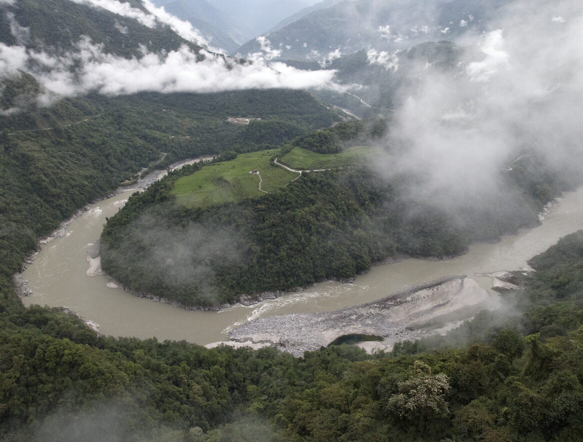
Until 2013, Medog was the only county in China with no road. It sits where the Yarlung Tsangpo turns south and drops off the plateau — so it's Tibetan, and it's also rainforest.
Medog — Motuo in Mandarin — held a specific distinction until 2013: it was the last county in China with no road. Everything came in on foot or on a porter’s back over a 4,000-metre pass, and for much of the year the pass was shut.
The geography explains it. The Yarlung Tsangpo runs east across Tibet for 1,700 kilometres, then hits the Himalaya, turns hard south and cuts through — carving the Yarlung Tsangpo Grand Canyon, by several measures the deepest gorge on earth, with over 5,000 metres of relief between the river and the peaks either side.
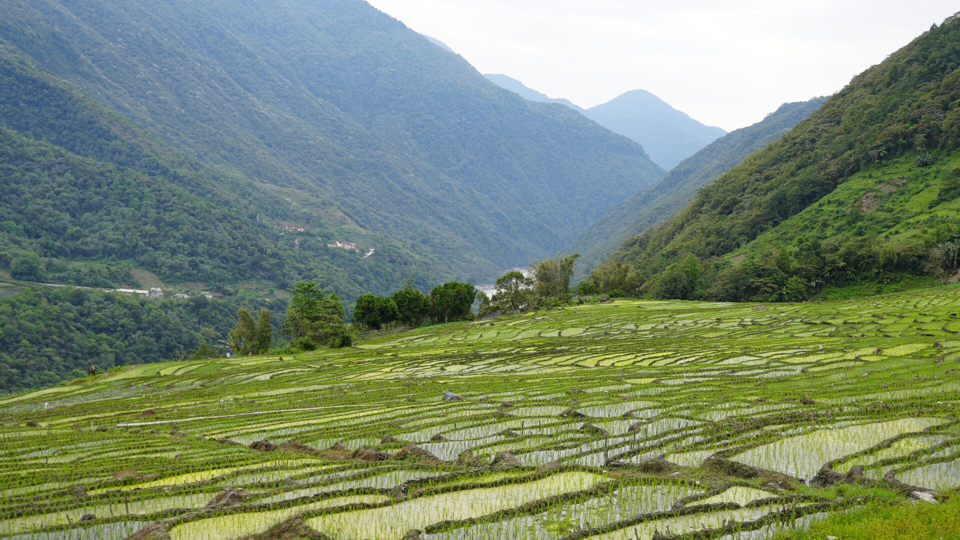
Medog is at the bottom of it. And because the gorge is a breach in the Himalayan wall, monsoon air from the Indian Ocean funnels straight up it, which produces something that shouldn’t exist: subtropical rainforest in Tibet.
Not the Tibet you’re expecting
Elevation in the county drops from above 4,000 m at the pass to a few hundred metres at the river. That range means the drive in passes through fir forest, then broadleaf, then bamboo, then banana and tree ferns, in a single afternoon.
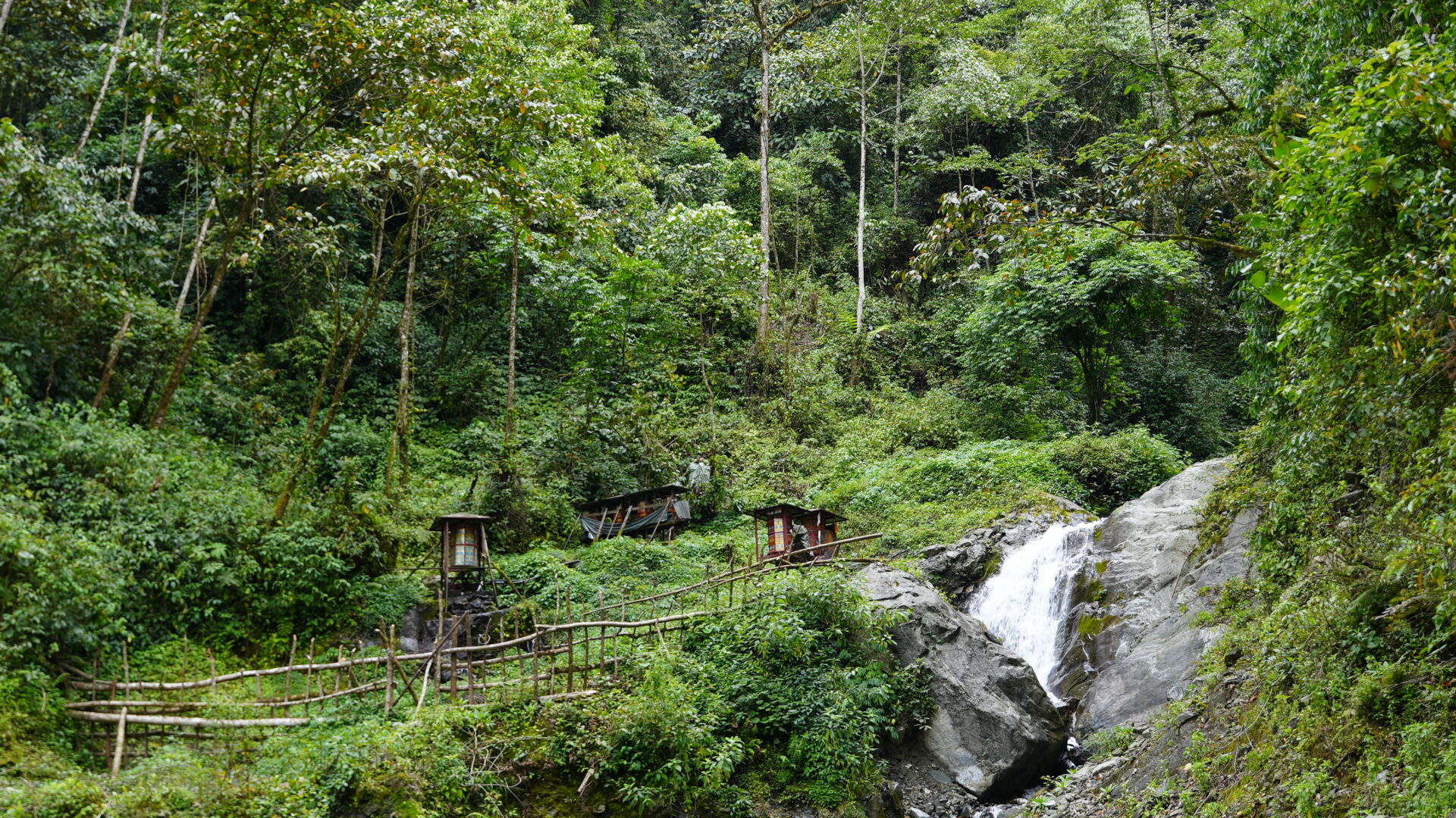
Rainfall is enormous. Landslides are routine, leeches are a real feature of walking off-trail in summer, and the humidity is unlike anywhere else in Tibet. Banana, rice, corn and betel grow here.
The road
Access is now via a road over the Galongla pass, with a tunnel through the worst of it. “Now accessible” is relative: landslides and snow close it, sometimes for days, and the section below the pass is a shelf road above a very long drop. Drivers who work it are unbothered; passengers usually aren’t.
The county is still in the process of arriving in the connected world. There’s mobile coverage and there are guesthouses, and there is also a great deal of ground that a road has never reached.
Who lives here
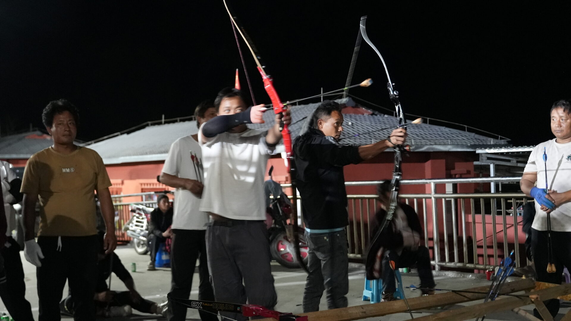
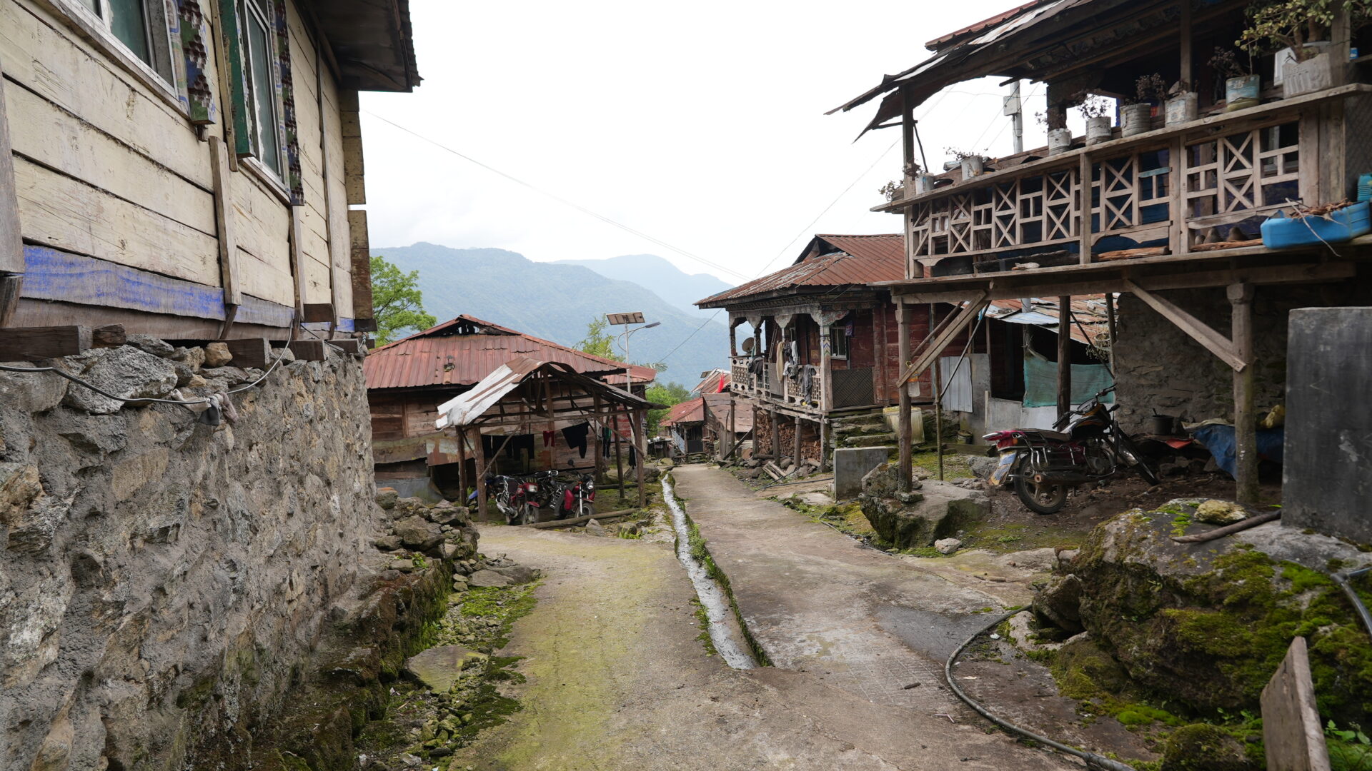
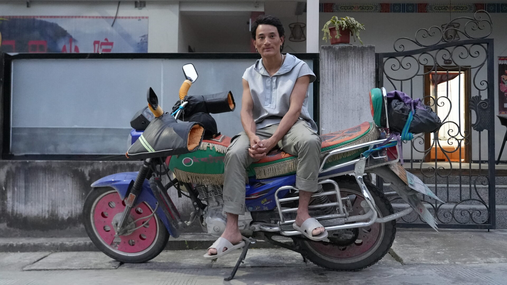
Monpa and Lhoba communities hold much of the county — two of the smallest of China’s recognised ethnic groups, both traditionally forest peoples with their own languages, closer in material culture to the eastern Himalaya than to the plateau. Tibetan and Han residents make up the rest.
The Buddhist geography matters here too: this area is identified as a beyul, a hidden land — a place prophesied as a refuge, which drew pilgrims across the mountains for centuries before there was anything resembling a route.
Practical notes
Getting there: road from Nyingchi (Bayi), a full day with the pass. Nyingchi has an airport and is on the new rail line from Lhasa.
Permits: Tibet Travel Permit plus additional permits for this border area, all through a licensed agency. The Indian frontier is close and this is a sensitive zone — see restricted areas.
When: October and November are the best window — the monsoon has finished, the road is at its most reliable, and the visibility is good. Avoid June to September, when rainfall peaks and landslides close the route. Winter snow shuts the pass.
What to bring: rain gear that actually works, insect repellent, and more patience with schedules than you’d normally allow. Nothing here runs to a timetable.
Nearby: Lulang and Pagsum Lake in the Nyingchi region are on the way, and much gentler introductions to eastern Tibet.
- #tibet
- #medog
- #yarlung tsangpo
- #monpa
- #remote