
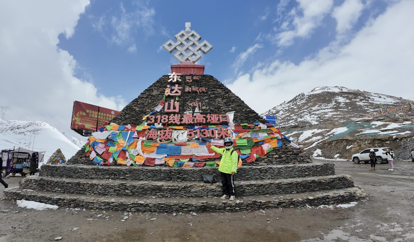
The road drops off the plateau into the Nu river gorge in a stack of 72 counted switchbacks. It's the most photographed piece of tarmac in Tibet, and the river below it runs all the way to the Andaman Sea.
The Nu river — the Salween — rises on the Tibetan plateau and runs south for well over two thousand kilometres, through Yunnan and Myanmar, to the Andaman Sea. In its upper reaches it has cut one of the deepest gorges in Asia, and getting a road across it required something extreme.
The result is the Nujiang 72 bends (怒江七十二拐): a descent off the Yela mountain shoulder into the gorge on a stack of switchbacks so tightly packed that from above the road appears folded. Seventy-two of them, counted and signposted, dropping well over a kilometre of vertical.
Driving it
The pass at the top sits above 4,600 metres. From the viewpoint you can see most of the descent laid out below, and it is worth stopping for — it’s the single most photographed stretch of the Sichuan–Tibet highway (G318), which is itself among the great drives on earth.
Going down takes far longer than the distance suggests. Trucks crawl, gradients are severe, and there is no margin at the outside of the bends. Coming up is slower again.
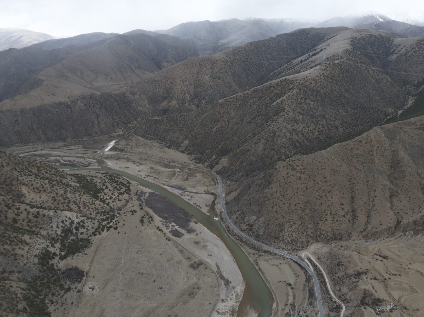
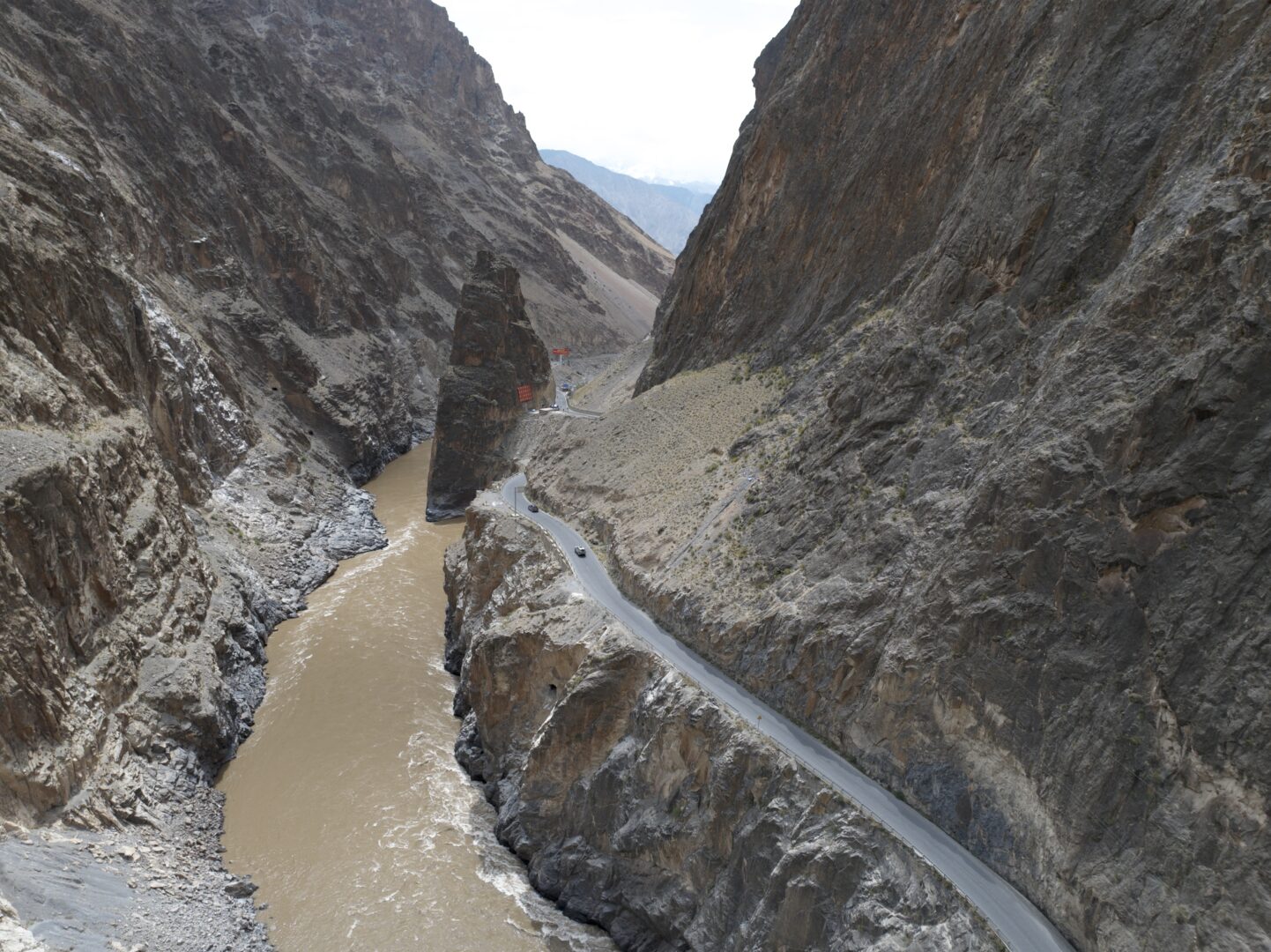
At the bottom, the road follows the Nu upstream in a gorge with almost no flat ground — a shelf cut into rock, the river brown and fast below, and walls that cut the sun off for most of the day.
The river’s other half
The same river, further south, defines a whole different region. In Yunnan it gives its name to Nujiang prefecture, where the gorge narrows further and becomes home to the Lisu, Nu and Drung — three of the smaller of China’s ethnic groups, living in villages on slopes that look unusable.
That stretch has its own famous road, the rough route from Bingzhongluo up into Tibet, which is one of the most demanding drives in the country and has a following among self-drivers for that reason.
If it’s the culture of the gorge you want rather than the engineering, the Yunnan end is where to go — see Weixi and Cizhong for the neighbouring valleys.
Practical notes
Where: Baxoi county, eastern Tibet, on the G318 between Chamdo and Ranwu.
Permits: Tibet Travel Permit through a licensed agency; a route through here needs additional permits. See restricted areas.
Driving: hired car with an experienced driver. This is not the road to learn Chinese mountain driving on, and the licence requirements apply regardless.
When: May to October. The summer monsoon brings landslides and rockfall to this exact stretch, and closures of a day or more are routine — build slack into any itinerary that crosses it.
Altitude: the pass is over 4,600 m and the gorge floor far lower. You’ll gain and lose a lot of height in a day, repeatedly.
Nearby: Ranwu and the Laigu glacier west along the highway, Chamdo east.
- #tibet
- #nujiang
- #salween
- #g318
- #road trip